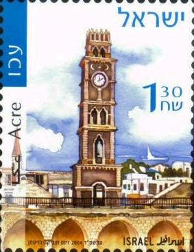

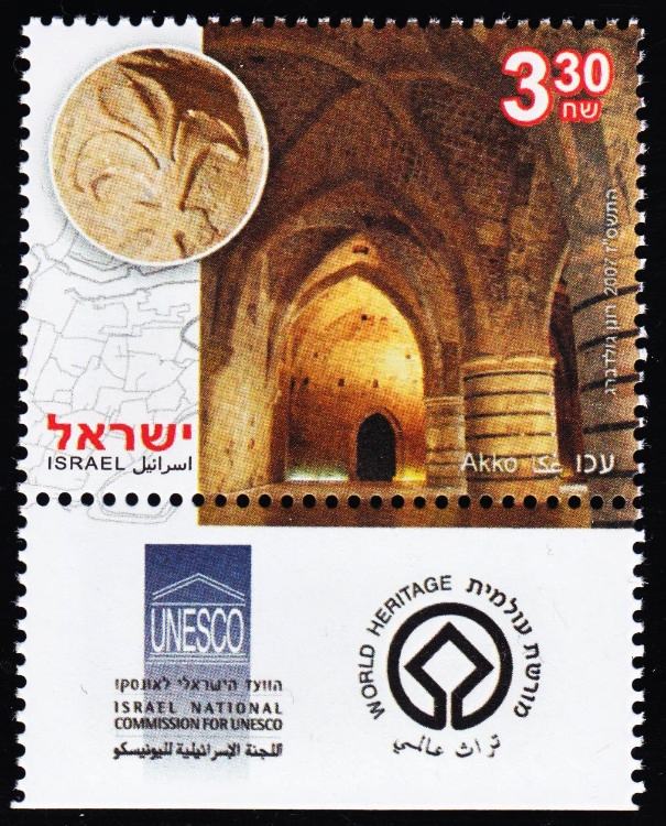
Acre is a historic walled port-city with continuous settlement from the Phoenician period.
Masada (Hebrew, fortress), are the ancient ruins on a mountaintop in the desert about 48.3 km (about 30 mi) southeast of Jerusalem, the scene of the last stand made by the Jewish Zealots in their revolt against Roman rule (AD 66-73). Two fortified palaces were built there in the 1st century BC by the Judean king Herod the Great.
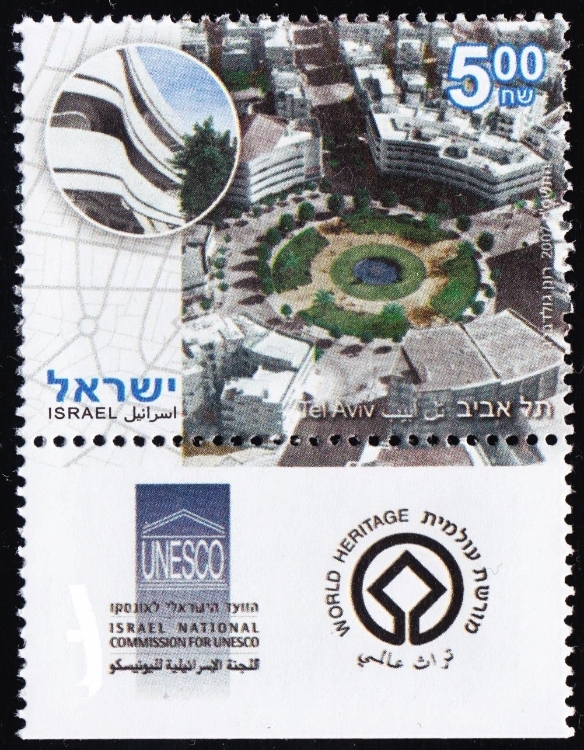
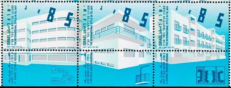
Tel Aviv was given the name White City because a large number of light colored houses in Bauhous style were built there from the 1920s to the 1950s.

A tell is an artificial mound created by many successive layers of human occupation. These 3 tells are representative of the more than 200 tells in Israel and contain substantial remains of cities with biblical connections.
The trade route which flourished from the 3rd century BC to the 2nd century AD includes 4 Nabatean towns of Haluza, Mamshit, Avdat and Shivta. They are spread along the Negev Desert bringing the spice trade of frankincense and myrrh from south Arabia to the Mediterranean.
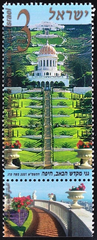
The property includes 26 buildings, monuments and sites at 11 locations in Acre and Haifa, associated with the founders of the faith, among them the Shrine of the Baha'u'llah in Acre and the Mausoleum of the Bab in Haifa.
The property includes the cave sites of Tabun, Jamal, el-Wad and Skhul and contains cultural deposits representing 500,000 years of human evolution. There is evidence of burials, early stone architecture and the transition from a hunter-gathering lifestyle to agriculture and animal husbandry. The time frame coincides with both Neanderthals and the appearance of modern humans within the same Middle Palaeolithic framework, the Mousterian.
This archaeological site contains 3,500 underground chambers carved in the soft chalk of Lower Judea. Situated on the crossroads of trade routes to Mesopotamia and Egypt, the area bears witness to the evolution of culture over more than 2,000 years from the 8th century to the time of the crusaders.
Lynn Salmon <>{
Last Updated: February 20, 2021